Lesson 6 of 37
Module 2: Professional Presentation That Pops
Lesson 6 of 37
Module 2: Professional Presentation That Pops
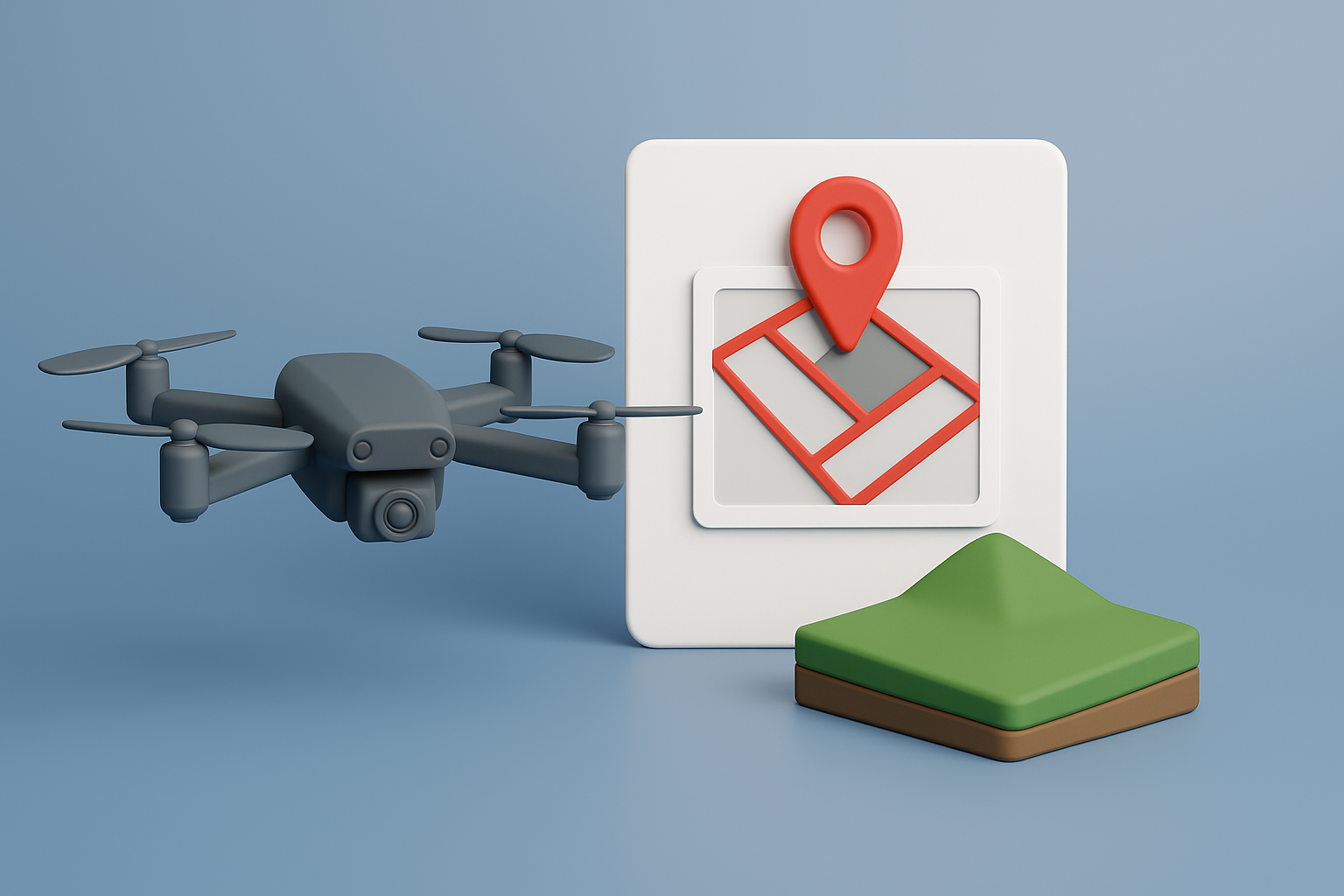
Adding Lot Lines to Your Drone Photos
Sometimes your drone photographer won't offer lot line overlays. That's okay — you can easily get them done separately. Lot lines are critical because buyers want to know exactly what they're looking at. Without them, they have to guess where the property begins and ends, which instantly creates hesitation.
The good news? Adding professional lot lines is simple and inexpensive.
Where to Get Lot Lines Done
My go-to option is Fiverr.com. It's fast, affordable, and you can review sellers' past work before hiring.
- Go to Fiverr.com.
- Search using terms like:
- "drone property lines"
- "aerial property lines"
- "add real estate property outline"
- "property boundary overlay"
- Review sellers' profiles, examples, and reviews.
- Pick one with clear samples of before-and-after property images (with clean, professional white line overlays).
Pricing usually ranges between $5–$30 per image, depending on the seller and how many you order at once. You don't need all of your drone photos to have lot lines, but at least 4 to 6.
Preparing Your Order
Just like with the drone photographer, you want to help the person doing the overlays understand the property boundaries. To do this, you'll send them:
- A screenshot from your County GIS map showing the property outline.
- A screenshot from ID.Land showing the lot shape.
- The drone photos you want the lines placed on.
- (Optional) A direct link to the county property map.
This ensures they overlay the boundaries correctly and don't make assumptions.
Message Script for Fiverr Seller
Here's a message you can copy, paste, and customize when placing your Fiverr order:
Message Script:
Hi [Name],
I need lot line overlays added to drone photos of a vacant land parcel I own in [City/County].
To help you see the exact property shape, I've attached:
- A screenshot from the County GIS map with the property outlined.
- A screenshot from ID.Land showing the same outline.
- The drone photos where I want the lines added.
- (Optional) A link to the county site where the parcel can be viewed.
What I need:
- Clean white property boundary lines added to each drone photo.
- Please make the lines visible but not too thick (professional, not distracting).
- I'll need [X number] of final edited images.
Can you confirm your pricing, turnaround time, and if you offer package discounts for multiple images?
Thank you,
[Your Name]
⚡ Key Takeaway:
Lot lines transform drone photos from "pretty" to powerful marketing tools. They remove buyer guesswork and make your land crystal clear, which helps it sell faster and for more money.
📹 Video Walkthrough
(Note: Videos are a supplement, not a substitute. Please complete the full training above before watching.)
Ready to learn more about professional presentation? Let's continue with the next lesson.
💰 Get a Cash Offer Today
Want speed over everything else? Skip the learning curve and get a fair cash offer in 24 hours. Close in days — no listings, no commissions, no waiting around. Just a fast, hassle-free payout.
🏆 Work With a Vetted Land Agent
When your land is worth $100K+, it deserves more than guesswork. Our Vetted Land Agents are specialists who handle everything — professional marketing, pricing strategy, buyer negotiations, and closing — so you don't risk costly mistakes. With fewer buyers at the high end, expert execution is what gets you maximum value and a bigger check.