Lesson 5 of 37
Module 2: Professional Presentation That Pops
Lesson 5 of 37
Module 2: Professional Presentation That Pops
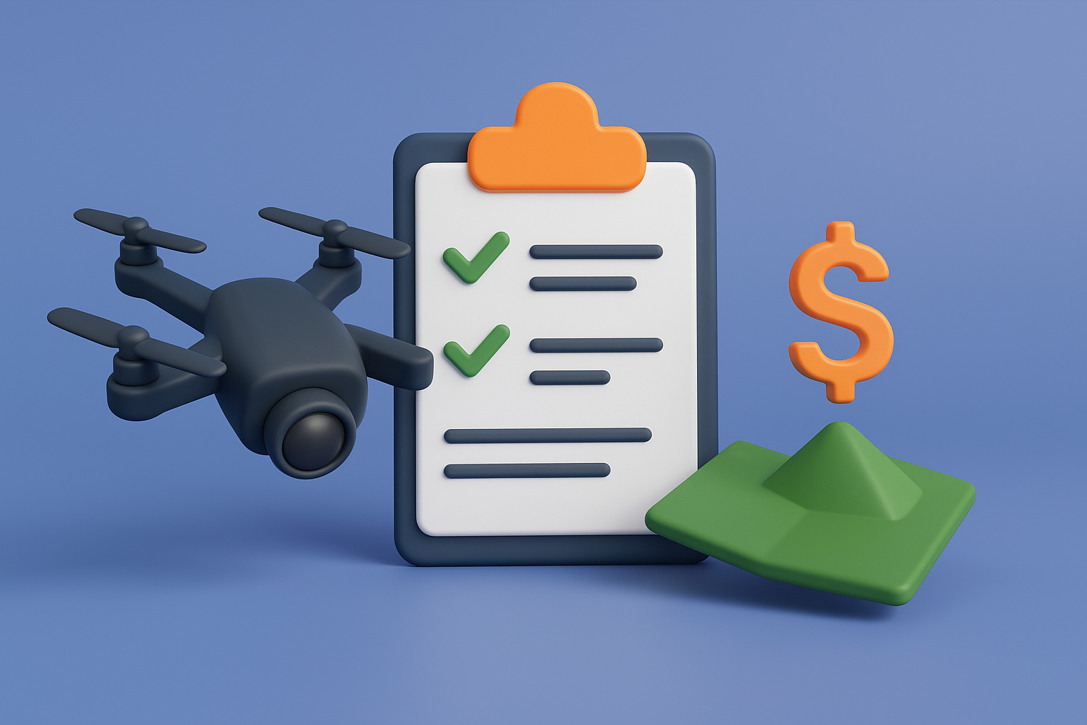
Drone Photos – How to Hire, What to Ask For, and Average Costs
Important Note:
I placed this module early in the course for one reason: so you can begin lining up your photo person right away. The actual steps in this module should only be done once you've gone through the entire course. But finding and booking a drone photographer can take several days and they may be booking out a week. I don't want you wasting time later when you're ready to list your property. Start identifying the right pro now so you can move quickly when the time comes.
Why Drone Photos Matter
If you only take one lesson from this module, it's this: land without drone photos almost never sells quickly or for top dollar.
Ground-level shots rarely do land justice, especially if the property is wooded, overgrown, or uneven. Buyers simply can't understand what they're looking at from a couple of snapshots taken from the road. They want to see the full picture:
- The shape and size of the parcel in context.
- Nearby roads, homes, stores, or amenities.
- Natural features like lakes, creeks, or tree lines.
- How the land relates to its surroundings.
Drone photos turn a "piece of dirt" into something real, valuable, and exciting. In fact, side-by-side tests show that listings with professional drone photos can sell in weeks while similar parcels without them sit for months.
What Shots You Need (and How Many)
When hiring someone, here's what to ask for:
5–7 aerial shots at different heights and angles.
- Wide shots from above to show the full property and surroundings.
- Angled shots showing both the land and nearby features (stores, highways, lakes, etc.).
- Lower shots that show treetops, clearing, or natural slopes.
Lot line overlays.
- Clean white lines added to show the exact boundaries of the property.
- Buyers don't want to guess where the land begins and ends.
Ground-level photos.
- The view from the road and entry point.
- Walking path if one exists.
- The "feel" of the property when standing on it.
Total: Aim for 10–15 usable images, with at least half of them being drone shots.
We will talk about ground-level photos in following sections.
What Not To Do
Use common sense when deciding what angles to capture. Avoid showing anything that could be interpreted negatively if it isn't central to your property's value.
For example:
- I once had a property with a nuclear facility miles away on the horizon. The drone camera captured the cooling towers releasing steam. While harmless, it looked negative and could spook buyers. We left that angle out.
- Avoid unnecessary clutter like junk piles on neighboring lots, unattractive industrial buildings, or flood-prone areas that aren't relevant.
The goal is to highlight the best features and not accidentally frame your listing around something buyers don't need to worry about.
How to Find a Drone Photographer
1. Thumbtack.com (Best Option)
- Go to Thumbtack.com.
- Enter "drone photography" or "real estate drone photos" + your zip code.
- You'll get a list of local professionals with reviews, pricing, and photos of past work.
The best part:
- They have reviews and reputations at stake, so they're incentivized to do a good job.
- They pay for your lead info, which means they're serious about earning your business (not time wasters).
- You can message multiple pros at once, compare responses, and pick the best fit.
2. Google Search
- Search: "Drone real estate photography near me" or "drone aerial photographer [your county]."
- Check the top results and Google Maps listings. Look for pros with websites showing real estate-specific examples.
- Call or email them directly and ask if they do land photography (many only focus on houses, so be clear upfront).
3. Local Facebook Groups
- Search for "real estate investors," "real estate photography," or "drone hobbyist groups" in your county.
Post a simple request: "Looking to hire a drone photographer for a vacant land listing. Please DM samples and pricing."
What to Say When Requesting the Job
When you reach out to drone photographers, don't just describe your land in words. Help them understand the exact shape and size of the parcel. This prevents mistakes, saves them scouting time, and ensures you get the angles you want.
The best way to do this:
- Attach a screenshot from your County GIS map showing the parcel outline.
- Attach the same parcel pulled up in www.ID.Land with its boundaries highlighted.
- Include the direct link to the county site where the parcel is shown (if available).
This way, the photographer immediately knows where the boundaries are and how to frame the shots.
Message Script:
Hi [Name],
I'm looking to have drone photos taken of a land parcel I own in [City/County]. To help you see the exact shape and size, I've included:
- A screenshot from the County GIS map showing the parcel outline.
- A screenshot from www.ID.Land with the same lot outlined.
- A link to the county website where the parcel can be viewed directly.
For the photos, I'll need:
- 5–7 aerial shots from different angles and heights.
- Clean lot line overlays on the images (if you can provide this, please let me know the cost).
- Ground-level entry shots and 1–2 walk-up photos.
- Photos that highlight nearby features (roads, lakes, amenities, etc.).
I want around 10–15 usable images total, focusing on making the property look appealing to potential buyers. Please avoid capturing distant negative features (industrial sites, etc.) that don't add value.
Here's examples of some past drone work that I had done that I really liked: <LINK TO GOOGLE DRIVE HERE>
Can you provide a quote, your average turnaround time, and whether you can include lot lines? If not, I can handle the overlays separately, but it's always better if you do it all together.
Thank you,
[Your Name]
Lot Lines
Always ask if they can provide lot lines. Some drone photographers include this for free, others charge a small fee per image. If they don't offer it, you can add them later (we'll cover how). But it's better to have them done together with the initial photos if possible.
Pricing
On average, you should expect to pay $150–$300 for drone photos of a land parcel.
- Personally, I never pay more than $200, but pricing depends on how many providers are available in your area.
- In competitive markets where many drone photographers offer real estate services, prices tend to be lower.
- In rural or smaller markets with fewer options, you may see higher quotes, but you can almost always negotiate into that $150–$300 range.
If someone quotes you $400, $500, or more, keep looking. There are plenty of skilled drone operators who can deliver exactly what you need at a fair price.
⚡ Key Takeaway:
Land is invisible to buyers without drone photos. Start identifying and booking your photographer now so you don't lose days later. When it's time to list, you'll already have this step ready to go.
Example Drone Photos
Attached are drone photos as a great example. In this case, the property had an old mobile home on it, but that structure was destroyed and the listing was marketed primarily as land. What I want you to focus on are the angles, lot line outlines, and overall composition. This shows exactly how drone photos for land should be done—capturing the property from multiple heights, showing context with surrounding features, and clearly highlighting boundaries.
📹 Video Walkthrough
(Note: Videos are a supplement, not a substitute. Please complete the full training above before watching.)
Ready to learn more about professional presentation? Let's continue with the next lesson.
💰 Get a Cash Offer Today
Want speed over everything else? Skip the learning curve and get a fair cash offer in 24 hours. Close in days — no listings, no commissions, no waiting around. Just a fast, hassle-free payout.
🏆 Work With a Vetted Land Agent
When your land is worth $100K+, it deserves more than guesswork. Our Vetted Land Agents are specialists who handle everything — professional marketing, pricing strategy, buyer negotiations, and closing — so you don't risk costly mistakes. With fewer buyers at the high end, expert execution is what gets you maximum value and a bigger check.